Another bit of numismatic data viz! This map illustrates the changing geography of minting in Britain, Ireland, and the Isle of Man c.973-1544.
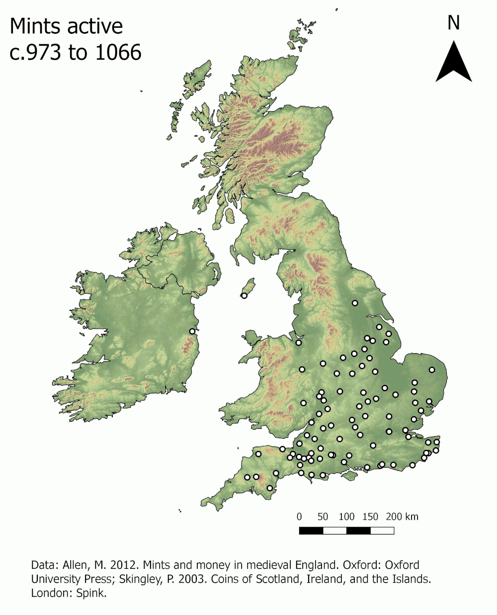
The data used in this graphic comes from two key sources: Martin Allen’s excellent Mints and money in medieval England, and Philip Skingley’s edited volume on Coins of Scotland, Ireland, and the Islands. Both books are available from all good retailers!